Sea fishing in Chalkidiki
Where, when and how to fish in Chalkidiki
Bounatses is a sea-fishing app: it shows the seabed, suggests spots and keeps your history. Bounatses is Greek for the dead-calm seas every angler hopes for.
The app is being built and has not been released yet.
See the seabed before you cast
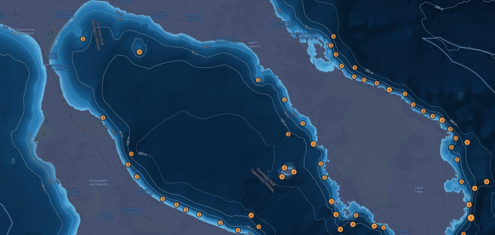
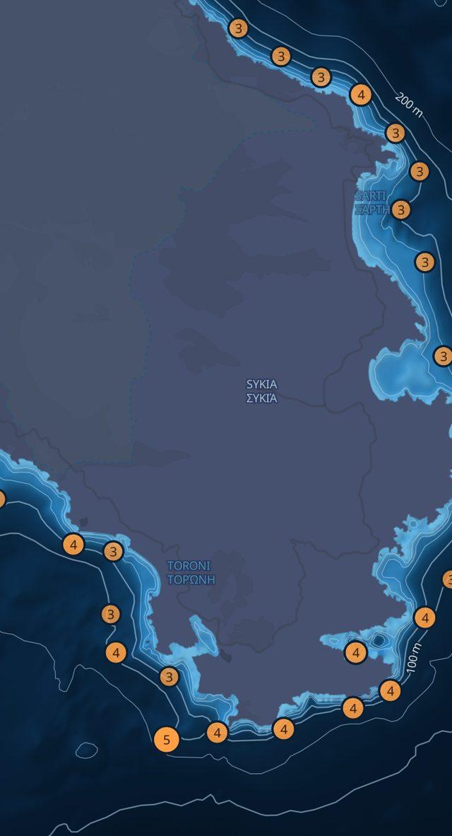
The map shows depth in colour, contour lines from 5 to 1000 metres, and the places where the bottom drops away or rises. Tap anywhere on the sea to read the depth.
- 151 hotspots around Kassandra, Sithonia and Athos
- Your position on the map, from the phone's GPS
- Save your own spots, privately
Not for navigation. Depths are approximate.
Know the local fish
For each species: how to tell it apart, what depth and seabed it lives on, which months it comes close, and the method, bait and tackle to use.
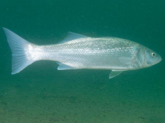
European sea bassΛαβράκι
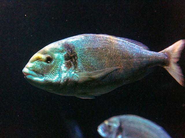
Gilthead seabreamΤσιπούρα
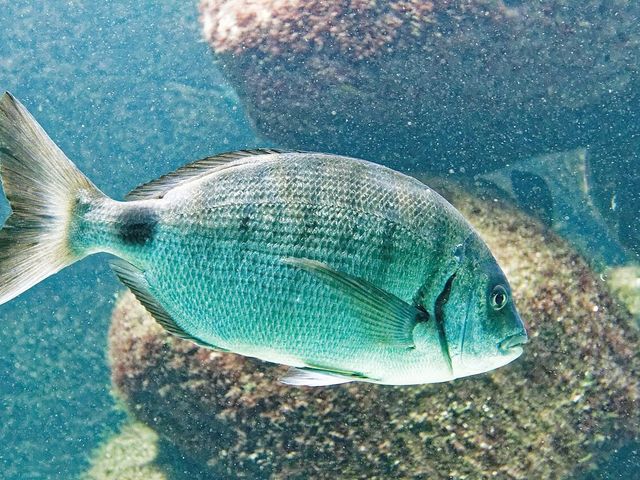
White seabreamΣαργός
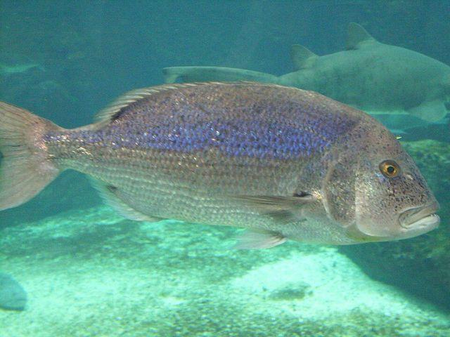
Common dentexΣυναγρίδα
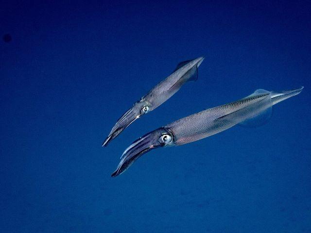
European squidΚαλαμάρι
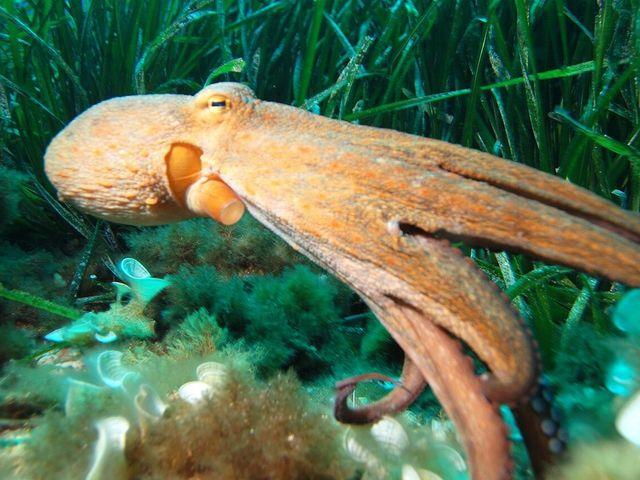
Common octopusΧταπόδι
Coming soon
Fishing forecast
A 1–5 score for each day from wind, waves, pressure and moon, with a warning when the weather is not safe.
Catch log
A private record with place, time and conditions, so you can see what works for you.
Do you run a business by the sea?
Tackle shops, marinas, boat rentals and fishing trips can be shown to the anglers who use the app.